Wandering in the Ironmask Hills
On a grey and cool day I wandered in the Ironmask Hills. The bike trails officially closed November 30 and Trans Mountain Pipeline is still active along the north-south route through the hills. On this day, I followed some of the trails, but also chose to bear off for viewpoints and hilltops in an eclectic route.
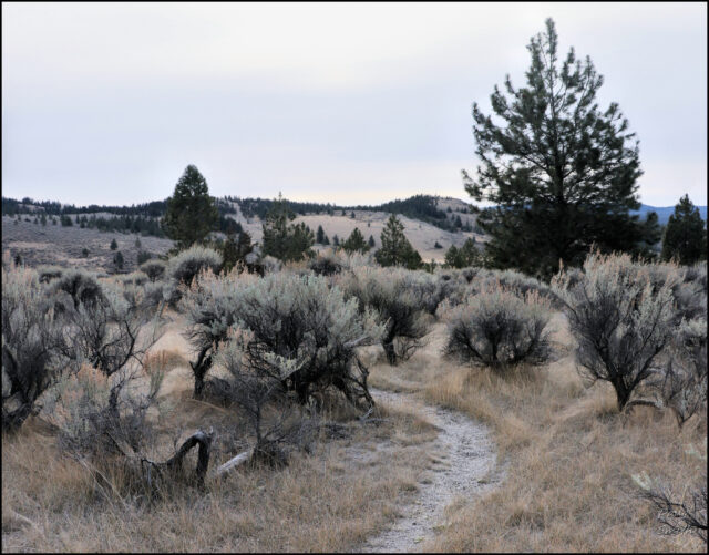
The southwest end of the bike trail network is now officially closed for access. Most of this area is open sagebrush grassland used for grazing cattle in season.
 There is an old homestead site in the area, deteriorating more each year.
 tFrom on top of the Ironmask Hills are a number of viewpoints. This one looks south to Wallender Lake and Chuwhels Mountain in the distance.
 From farther along the hill, views extend northwest.
 Maps of the area show trails that are now closed. Updated maps can be found on Trailforks.

Doug Smith
Doug writes for Kamloops Trails, a not-for-profit (and ad free) website, offering information on trails, waterways, routes, featured spots, viewpoints, and explorations in the outdoors in the Kamloops area (and beyond).
Doug started exploring this area in 1976 and continues to follow tracks and routes wherever they lead, with the aid of map, compass, GPSr and camera. After many dead-ends, but also many discoveries, he chose to share this information.
The Kamloops Trails website has a massive number of interesting posts and would be of interest to anyone in Kamloops who enjoys the outdoors. Visit the Kamloops Trails website at: http://www.kamloopstrails.ca/
My Blog Posts