Once Around Rabbit Island – Kamloops Trails
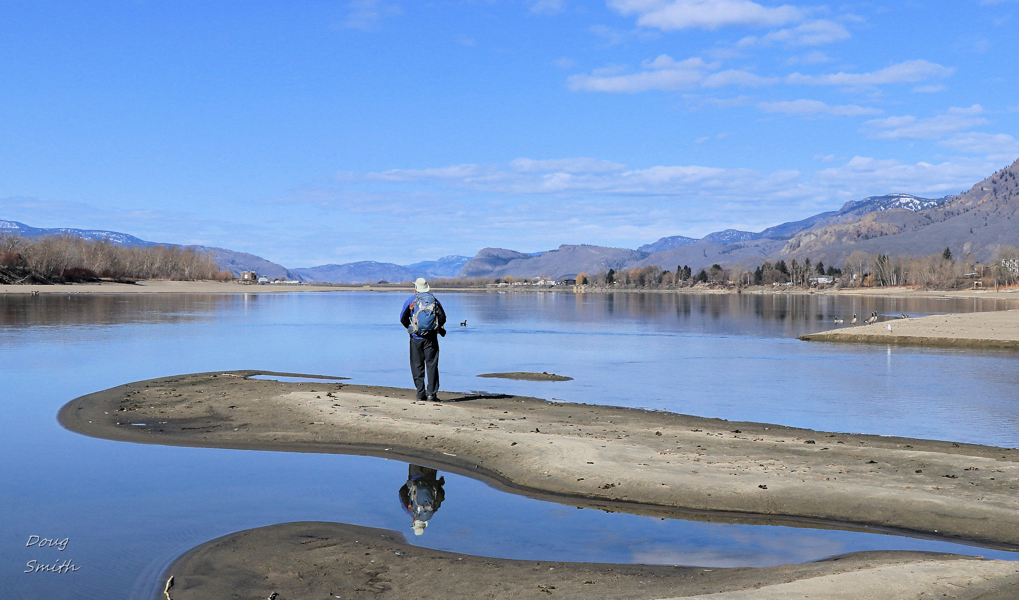
By the end of March the snow and ice has left the river valley and the volume of water in the Thompson River is low, exposing large sandbars, gravel bars, and wide beaches. From McArthur Island we can walk out southeast onto gravel bars and get to a spot about 8 meters from the beaches of Rabbit Island. We have waded across this channel many times over the years. When we crossed this year, the water was cold, but never over our knees. Some people go across in shorts and water shoes, then change on the other side. I used a dry suit with neoprene boots and my socks and pants under the dry suit were warm and dry, then I removed the gear on the other side.
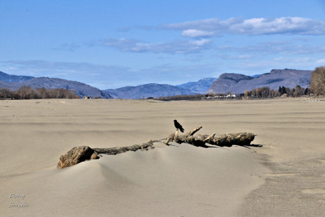
 The north side of Rabbit Island is a wide, sandy beach. A few logs are embedded in the silts and sands. We hiked in a counter-clockwise direction around the island.
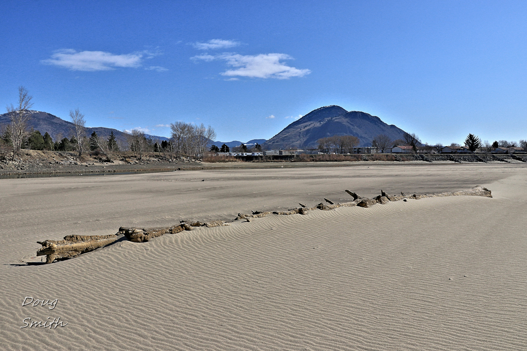 At the west end of the island the river converges into a single channel as it winds its way down to Kamloops Lake, 10 km farther west.
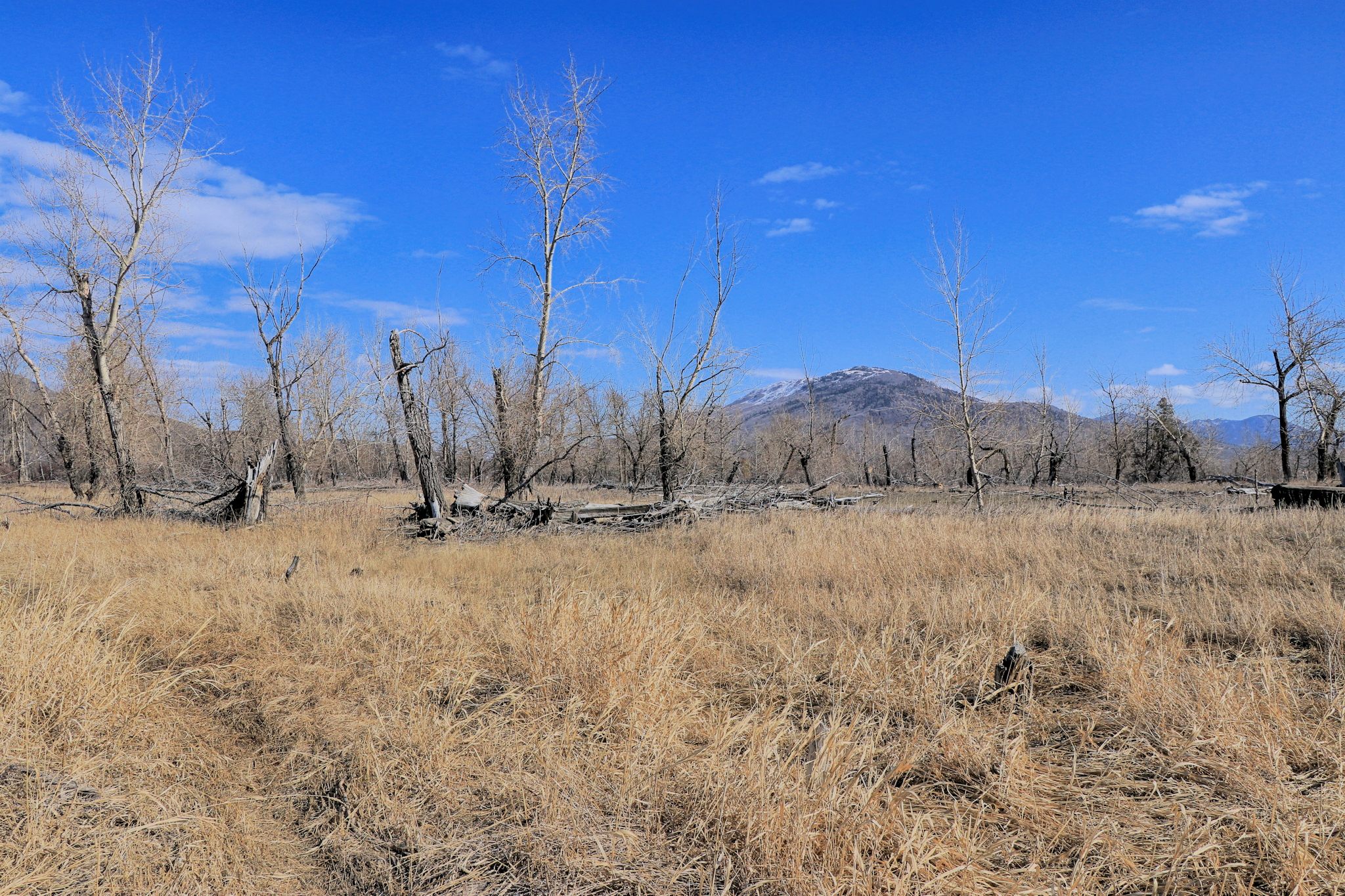
 On the south side of Rabbit Island, most of the Thompson River runs with a faster current downstream. There are no beaches and the banks are steep, so we usually walk along the edge of the bank. The Interior of the island is covered in native grasses with cottonwoods, some shrubs, and one small grove of evergreens. Much of the island floods in June so trees have to be adaptable to river salts deposited in the soil.
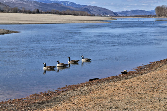
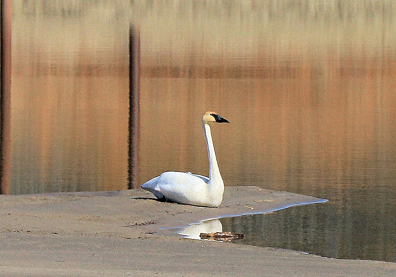
 There were many mating pairs of geese on the island, taking out nesting spots. On the east corner of the island was a lone trumpeter swan keeping an eye on us.
 When we hike the river beaches we enjoy beach-combing. I found a good pocket knife that cleaned up nicely. We spotted various types of flotsam and jetsam on the shore, a few shared here.
The hike around the island is about 5.2 km and will take about 2 hours (including the crossing, changing, and some exploration). By mid-April the water in the channel will be too deep so it can still be done by boat. By mid-summer we usually do a kayak loop around the island and a side trip into the McArthur Island slough through the west entrance. At time of high flood, we can even paddle into flood channels into the island. When we hike to or paddle to the island we try to take some debris off the island to keep it pristine. Additional help from the motorboat crowd will also be appreciated.
We saw many ducks, gulls, and geese on the island, and we have spotted deer and coyotes, but never any rabbits.
Doug Smith
Doug writes for Kamloops Trails, a not-for-profit (and ad free) website, offering information on trails, waterways, routes, featured spots, viewpoints, and explorations in the outdoors in the Kamloops area (and beyond).
Doug started exploring this area in 1976 and continues to follow tracks and routes wherever they lead, with the aid of map, compass, GPSr and camera. After many dead-ends, but also many discoveries, he chose to share this information.
The Kamloops Trails website has a massive number of interesting posts and would be of interest to anyone in Kamloops who enjoys the outdoors. Visit the Kamloops Trails website at: http://www.kamloopstrails.ca/
My Blog Posts