Mount Mara Northeast Route – Kamloops Trails
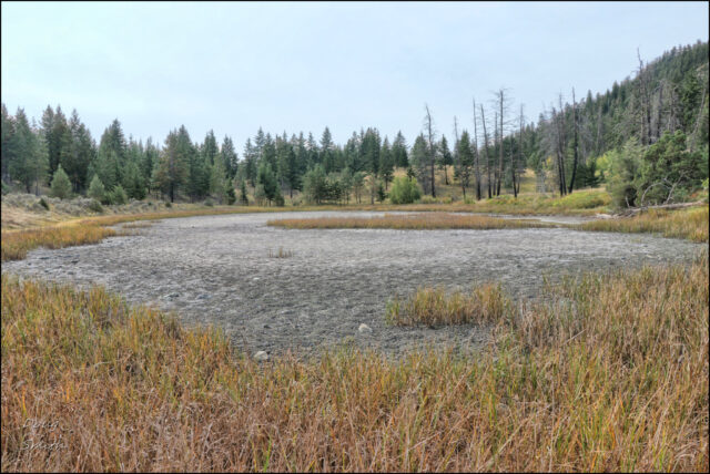
At the end of summer we drove into Lac du Bois Grasslands Park, then out on the Pruden Pass Road to the end. We hiked up the grassland and open forest slopes (within the Park) up to an open bench where homesteaders once lived. Remains of the cabin are still there but the pond that provided water was dry after this long drought. The trail to the top of the mountain starts at the top of the small ridge on the south side of the pond.
Open douglas fir forest covers the top of the mountain as we traversed to the southern rim.
 We hiked to the top of the cliffs on the south side of Mount Mara and enjoyed the view.
 On the way back, we hiked off-trail over the eastern side of Mount Mara, looking down at the grasslands. We traversed over several viewpoints back to the trail we had followed going up.
 On the way down we had fine views of the glaciated hills of the Lac du Bois Grasslands.
 The return hike is about 8.3 km, taking about 3.5 hours which included a lunch break and stops at viewpoints. We have hiked this route every year for decades and it is on our schedule for next May again.


Doug Smith
Doug writes for Kamloops Trails, a not-for-profit (and ad free) website, offering information on trails, waterways, routes, featured spots, viewpoints, and explorations in the outdoors in the Kamloops area (and beyond).
Doug started exploring this area in 1976 and continues to follow tracks and routes wherever they lead, with the aid of map, compass, GPSr and camera. After many dead-ends, but also many discoveries, he chose to share this information.
The Kamloops Trails website has a massive number of interesting posts and would be of interest to anyone in Kamloops who enjoys the outdoors. Visit the Kamloops Trails website at: http://www.kamloopstrails.ca/
My Blog Posts