Barnes Lake Trails in the Fog and On the Snow
The Barnes Lake trails are on Crown lands between the Campbell Creek Road and the Robbins Range Road in Barnhartvale. They were first developed as horse-and-hiker trails on grassland hills and forested slopes. The whole area is fenced in, but there are 4 access gates. junction signage, and good trails. The northern half of the area winds through open grasslands and open forests. The higher south end is in a Douglas fir forest. There are 4 trailheads, but we prefer the entrance across from the corner of Gardiner Road and Barnhartvale Road. We hiked a loop route of 9 km in mid-November.

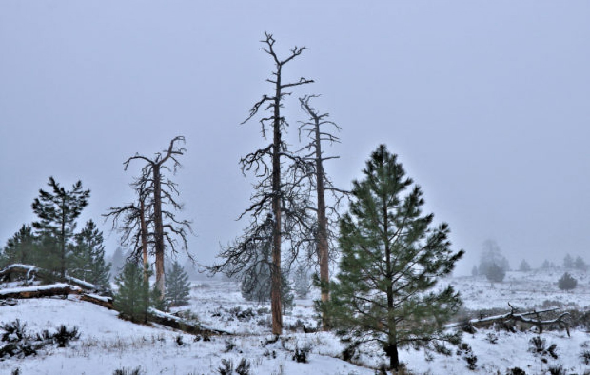
Recent snowfall meant we were walking on snow for the whole route. Mild weather created an inversion, trapping valley cloud, making for foggy conditions. There are a number of standing snags, mostly old ponderosa pines, still standing like sentinels in the mist, in the grasslands.

All of the trails are moderate climbs. The forested sections are pleasant winding trails in the woods.

Following a series of trails on the outside loop, we passed by Killdeer Pond, surrounded by a blanket of snow and the ghost-like reflections in the water.

The loop route returns back to the grassland hills before dropping down to Barnhartvale Road. The outside loop takes 2 to 2.5 hours. There are a number of numbered junctions along the way, but they all are connected so any wrong turn may change the distance, but will still provide a nice hike in any month of the year.


Doug Smith
Doug writes for Kamloops Trails, a not-for-profit (and ad free) website, offering information on trails, waterways, routes, featured spots, viewpoints, and explorations in the outdoors in the Kamloops area (and beyond).
Doug started exploring this area in 1976 and continues to follow tracks and routes wherever they lead, with the aid of map, compass, GPSr and camera. After many dead-ends, but also many discoveries, he chose to share this information.
The Kamloops Trails website has a massive number of interesting posts and would be of interest to anyone in Kamloops who enjoys the outdoors. Visit the Kamloops Trails website at: http://www.kamloopstrails.ca/
My Blog Posts