The West End of the West Arm of Murtle Lake
We traveled to Murtle Lake before smoky conditions smothered the area and we decided to shorten our time there. On the second day we paddled the west end of the west arm of Murtle Lake. We launched from Birch Beach and paddled past Smoker Island. The wide bay at the mouth of File Creek and Anderson Creek is shallow and muddy so we kept our distance from the treed shoreline. The distance from Birch Beach to the landing at Diamond Lagoon was about 7.5 km.
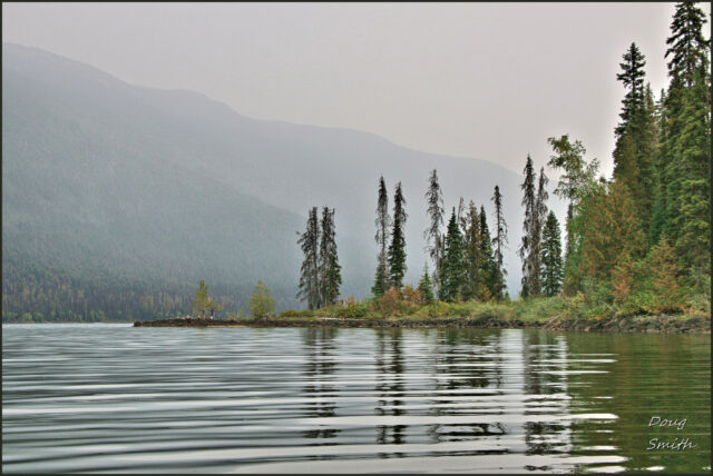
 At the end of the previous day and in the early morning, there was some smoke, but there was also some clearer skies too. We got an early start to take advantage of calm conditions on the lake.
 The mountains to the north of Anderson Lake and Anderson Creek are part of the Mobley Range. There is a trail to Anderson Lake, but access to Mobley Mountain would be bushwhacking.
 There is also a trail to a launch at File Creek. the river can be paddled for about 4 km upstream. McDougall Lake is another 5 km beyond. Draining into File Creek is Kostal Creek, running down from Kostal Lake (6km from the confluence). An old trail can be hiked to Kostal Lake, but it is mostly impassable at this time. The Goat Peaks rise north of File Creek.
 We entered Diamond Lagoon by paddling a short distance down the Murtle River. The lagoon area is through a lava field. At the end of Diamond Lagoon are rapids on the river. A sign warns paddlers not to pass the sign.
 A rough landing can be made on the south shore. A trail follows the river down to McDougall Falls.
 We landed in a small bay below the Diamond Lagoon shelter. We had lunch and explored the area a bit. The shelter would be welcome in the rain or the cold, but it is a bit primitive otherwise. There was an outhouse and a bear cache there for campers.
 The smoke continued to roll in as we paddled back along the south shore of the lake.
 We paddled past the Tropicana Campsite and then across the lake to our own campsite, a total of 16 km.
 On a day with better conditions, we would have hiked down to the falls and back, but paddling in the smoke limits the views, but it also takes a toll on the lungs. We spend 3 day at Murtle Lake, but we plan to return to do some more hiking in the area, perhaps in the north arm next time.
Doug Smith
Doug writes for Kamloops Trails, a not-for-profit (and ad free) website, offering information on trails, waterways, routes, featured spots, viewpoints, and explorations in the outdoors in the Kamloops area (and beyond).
Doug started exploring this area in 1976 and continues to follow tracks and routes wherever they lead, with the aid of map, compass, GPSr and camera. After many dead-ends, but also many discoveries, he chose to share this information.
The Kamloops Trails website has a massive number of interesting posts and would be of interest to anyone in Kamloops who enjoys the outdoors. Visit the Kamloops Trails website at: http://www.kamloopstrails.ca/
My Blog Posts