The Grasslands in Fall – Kamloops Trails
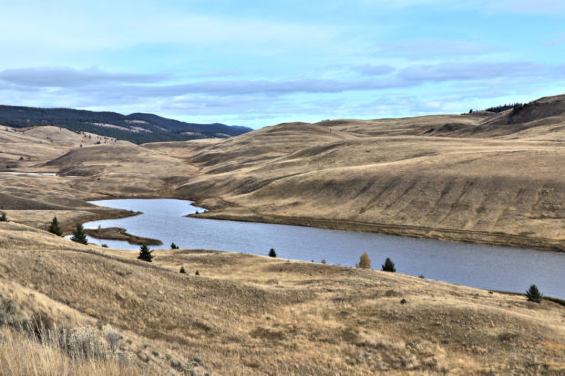
One of our favorite hikes in any season is a route through the middle grasslands on the west side of Long Lake in Lac du Bois Grasslands Provincial Park. There is a user-trail at the start by the small pullout/trailhead which we start on, but we usually pick our own route to pass kettle ponds, glacial features like erratics, kames, eskers, and moraine ridges, and up to viewpoints. On this day I hiked past Island Lake to the Grasslands Esker, then angled up to the top of the ridge overlooking Long Lake, then looped back through the grasslands to the start, a 6.5 km route.


The Grasslands Esker is a sinuous ridge, a glacial deposit from the Last Ice Ages. The direction of the flow of the glaciers in this area was down the slopes of Opax Hill toward Long Lake. The under-ice glacial stream carried silts, gravels, and debris down the slope. When the ice had retreated, a 2 km esker was left standing.
We often snowshoe this route in winter, descending the esker toward the lake.


From the viewpoint the return route for this day was across the grasslands back to the trailhead, a 2 hour hike.
Doug Smith
Doug writes for Kamloops Trails, a not-for-profit (and ad free) website, offering information on trails, waterways, routes, featured spots, viewpoints, and explorations in the outdoors in the Kamloops area (and beyond).
Doug started exploring this area in 1976 and continues to follow tracks and routes wherever they lead, with the aid of map, compass, GPSr and camera. After many dead-ends, but also many discoveries, he chose to share this information.
The Kamloops Trails website has a massive number of interesting posts and would be of interest to anyone in Kamloops who enjoys the outdoors. Visit the Kamloops Trails website at: http://www.kamloopstrails.ca/
My Blog Posts


