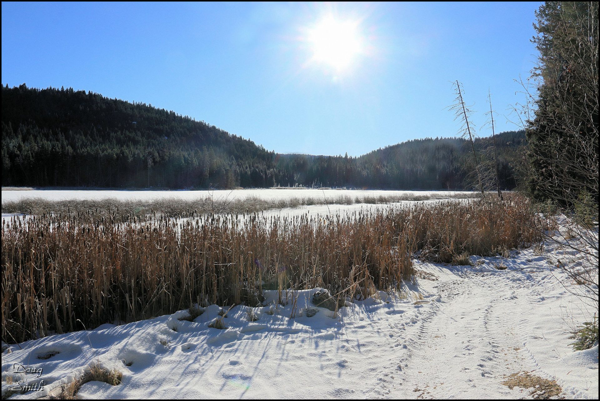
Roche Lakes Loop on the Snow
In shoulder season we can drive up into higher terrain to hike on snow-covered tracks in the forest. Roche Lake Provincial Park lies at 1100 to 1300 m (3600 – 4200 ft.). Within the park are a number of lakes connected by double and single tracks. Many of the lakes (on the east side) require high-clearance or 4WD and in winter access is mostly by quad or snowmobile. In shoulder season, though, we can walk the secondary backroads and tracks in the forest to link up the lakes. Some navigation is required, though. Following tracks is not always a good idea since they can be for hunting or ATV purposes. Bring a map, tracking app, or GPS to make good route choices.
We parked at the start of the Black Lake Road and hiked on a double track to Black Lake, then Bog Lake, and Ernest Lake.
Black Lake starts at about 900m along the track. The road is 4WD in summer, but an easy walk in winter. There were several people ice fishing on the lake.
 At 3.3 km we hiked around Bog Lake. There is a junction at the north end of the lake. Keep to the right to follow the Bog – Ernest drainage.
 Just before Ernest Lake is an old trapper’s cabin.
 We hiked past the cabin to a campsite area (for lunch) on the northeast corner of the lake.
 Ernest Lake is at the eastern boundary of Roche Lake Provincial Park. Cutblocks on Crown land are visible from the lakeshore.
 The connector route over to John Frank Lake is a bit hard to find. An old double track doubles back along the drainage, crosses a narrow marshy spot, then continues down the west side of Ernest Lake before angling west toward John Frank Lake. Since the lake was frozen we crossed a corner of the lake instead.
On the forested connector track there are some junctions along the way, but keep on a west – northwest bearing. Side tracks can be taken to Bulman Lake or John Frank Lake, but on this day we continued our 3 km route to the powerline. The final section headed northwest through the forest to Roche Lake Provincial Park Campground.
 From the campground we closed the loop by hiking north to where we parked. We enjoyed the sun as we hiked by each of the lakes on this 11.5 km loop.
Doug Smith
Doug writes for Kamloops Trails, a not-for-profit (and ad free) website, offering information on trails, waterways, routes, featured spots, viewpoints, and explorations in the outdoors in the Kamloops area (and beyond).
Doug started exploring this area in 1976 and continues to follow tracks and routes wherever they lead, with the aid of map, compass, GPSr and camera. After many dead-ends, but also many discoveries, he chose to share this information.
The Kamloops Trails website has a massive number of interesting posts and would be of interest to anyone in Kamloops who enjoys the outdoors. Visit the Kamloops Trails website at: http://www.kamloopstrails.ca/
My Blog Posts

