Red Plateau Hike – KamloopsTrails
We hike various routes on top of Red Plateau each year. We can hike up from the Dewdrop Range and we did do that earlier this year, but we can also drive up the Red Plateau Forest Service Road and start the hike on top of the plateau. All of the hikes will still have up and down routes, but not the 680 m (2230 ft.) climb to get to the Red Plateau Rim. There are some double tracks on the plateau, but nothing is signed and much of the area requires navigation. We have hiked the area many times so we know the double tracks, single tracks, and routes. In recent years we have also used an off-trail route to connect double tracks to single tracks (The Dewdrop Trail). The loop route shown here is about 8 km, but we could extend it with side routes or we could hike farther along to the west. All in, this hike took about 3 hours on an early July day.

Red Plateau is forested at the east end so there are few landmarks to help with navigation. For this day, we hiked in from the 4.5 km mark on the FSR and followed a double track southeast. Just after a large marsh, we went off-trail for half a kilometer through open forest to go to an established track which was due south. I have flagged most of this route now. It joins a flagged single track that connects Jag Hill to the Dewdrop Trail. We followed that trail going west until it merged with the Dewdrop Trail.

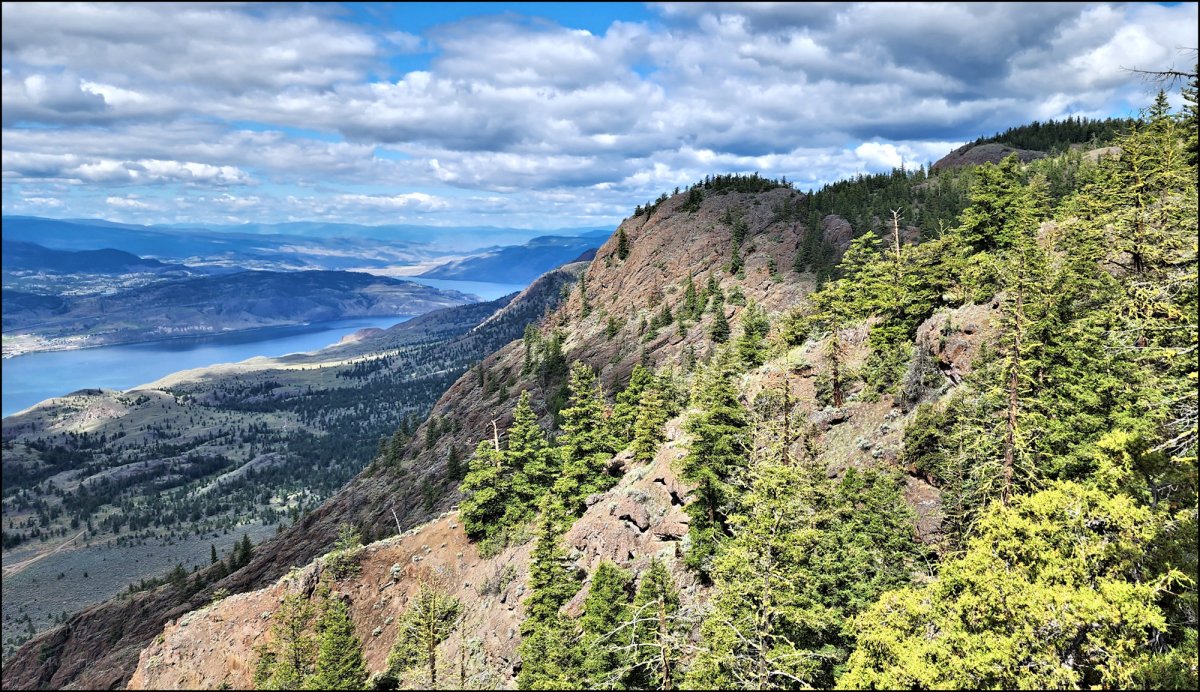
We hiked along the Dewdrop Trail, stopping at viewpoints along the way. the Dewdrop Range and Kamloops Lake lay below. We had wide views south, east, and west from the viewpoints.

We stopped for lunch at a viewpoint, then chose to follow single tracks, then double tracks, a route we have hiked many times, all the way back to the start.

Hikes on red Plateau are through a remote area. We saw bear signs in various places. There are many rugged features along the rim and some drop-off areas. People have gotten lost up there, although hikers can go north to the road or south to the rim if the need arises. If you go, it is best to carry a map or a GPS device. Anyone can hike the Dewdrop Trail out and back though without having to navigate. More information on hiking Red Plateau can be found here.
Doug Smith
Doug writes for Kamloops Trails, a not-for-profit (and ad free) website, offering information on trails, waterways, routes, featured spots, viewpoints, and explorations in the outdoors in the Kamloops area (and beyond).
Doug started exploring this area in 1976 and continues to follow tracks and routes wherever they lead, with the aid of map, compass, GPSr and camera. After many dead-ends, but also many discoveries, he chose to share this information.
The Kamloops Trails website has a massive number of interesting posts and would be of interest to anyone in Kamloops who enjoys the outdoors. Visit the Kamloops Trails website at: http://www.kamloopstrails.ca/
My Blog Posts