McQueen to Isobel Hike – KamloopsTrails
When we face hot weather and smoky conditions in summer, we have to be strategic in choosing our hike.
- Check firesmoke.ca to see the least smoky direction. Pick a hike or a lake (or both) in that direction, preferably something at a higher elevation.
- Check the wind forecasts to see if hiking or paddling is a better choice.
- Get an early start.
- Pick a moderate route, preferably with forest cover.
- With all of this in mind, I drove up to McQueen Lake and hiked a trail over to Isobel Lake, around the lake, and back.

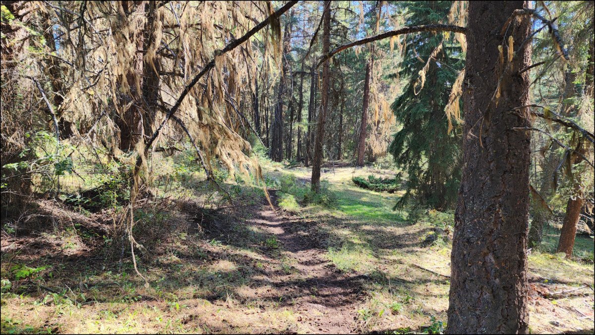
The trail is unsigned and unmarked. It once was called the Forest Capital Trail and it had interpretative markers, but it was discontinued when it brought motorized traffic and hunting too close to the McQueen Lake Outdoor Education Center. The trailhead is a short ways up the Isobel Lake Road. It is a single track that winds up over a forested ridge and then down to the Isobel Lake area.

At 1.4 km the trail comes into a clearing with a large marsh on the west side of Isobel Lake. The lake trail is another 0.4 km east.

There are two trails around Isobel Lake – a single track hiking trail and a double track for low mobility users. The two trails merge and fork at various points and there are small bridges, benches, and docks along the 2.7 km loop trail.

I followed the same trail back to the start, going through some open meadows populated by many ground squirrels, then back through the douglas fir forest.

On a weekday morning there was no one on the McQueen Lake end of the trail and only a few people by Isobel Lake. It was mostly quiet, interspersed with bird calls, and the distant drones of firefighting aircraft. I hope to return to do this 6 km hike again in late fall.
Doug Smith
Doug writes for Kamloops Trails, a not-for-profit (and ad free) website, offering information on trails, waterways, routes, featured spots, viewpoints, and explorations in the outdoors in the Kamloops area (and beyond).
Doug started exploring this area in 1976 and continues to follow tracks and routes wherever they lead, with the aid of map, compass, GPSr and camera. After many dead-ends, but also many discoveries, he chose to share this information.
The Kamloops Trails website has a massive number of interesting posts and would be of interest to anyone in Kamloops who enjoys the outdoors. Visit the Kamloops Trails website at: http://www.kamloopstrails.ca/
My Blog Posts