Kane Valley Hike – KamloopsTrails
On an end-of-September day we drove through Merritt and down Highway 5A. We turned onto the Kane Valley Road and drove a few kilometers down to one of the 5 signed trailheads. We wanted to hike a loop route so we started at the end of Lower Second Lake and followed cross-country ski trails in a counter-clockwise direction. All of the junctions have signs and there are often maps posted to help skiers and hikers.

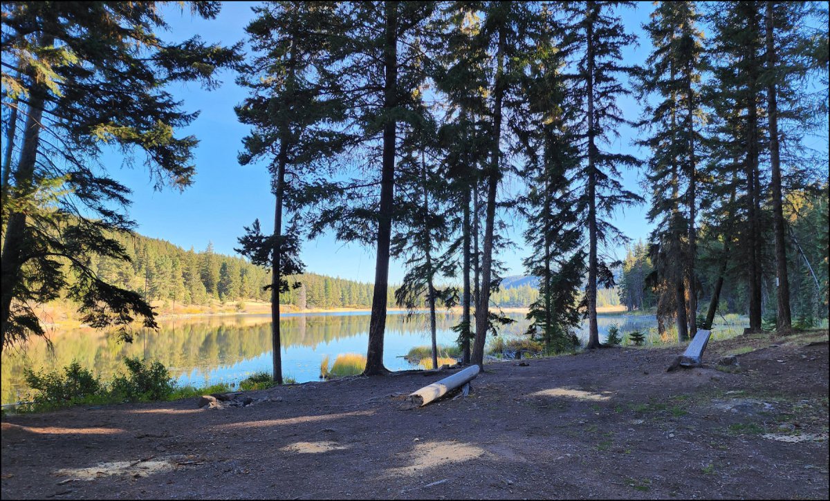
Our route started by crossing a foot bridge to the trailhead sign on Lower Second Lake.

We went past the end of the lake, the continued to turn left for the next few intersections, following the Kane Trail.

The ski trails are double tracks. There are some hills, but most are moderate (on foot).

Much of the Kane Trail winds between the lakes and a wooded hill, mostly in shade, but there are also some open meadows and marshes.

Our loop took us back to a different trailhead (P3). We crossed the Kane Valley Road and went up the hill on the other side, hiking the Shewchuk Trail, then the Gulch Trail, and finally the Overeasy Trail back to the start.

The loop route was about 9.4 km taking about 2.3 hours. This is a quiet area in the fall. The trails are well-marked and well-maintained. Some fall color is a bonus, but the trails are similar to Stake Lake, suitable in every season.
After our hike, we went down to the Rec Sites at Kane Lake and Harmon Lake. There were lots of people camping there, but not much activity back on the trails. More information on the trails can be found at the Nicola Nordic Ski Club’s website – Kane Valley Trails
A few more images are shared here. Click or hover for a lightbox/larger view.
Doug Smith
Doug writes for Kamloops Trails, a not-for-profit (and ad free) website, offering information on trails, waterways, routes, featured spots, viewpoints, and explorations in the outdoors in the Kamloops area (and beyond).
Doug started exploring this area in 1976 and continues to follow tracks and routes wherever they lead, with the aid of map, compass, GPSr and camera. After many dead-ends, but also many discoveries, he chose to share this information.
The Kamloops Trails website has a massive number of interesting posts and would be of interest to anyone in Kamloops who enjoys the outdoors. Visit the Kamloops Trails website at: http://www.kamloopstrails.ca/
My Blog Posts