Exploring the Dry Hills – KamloopsTrails
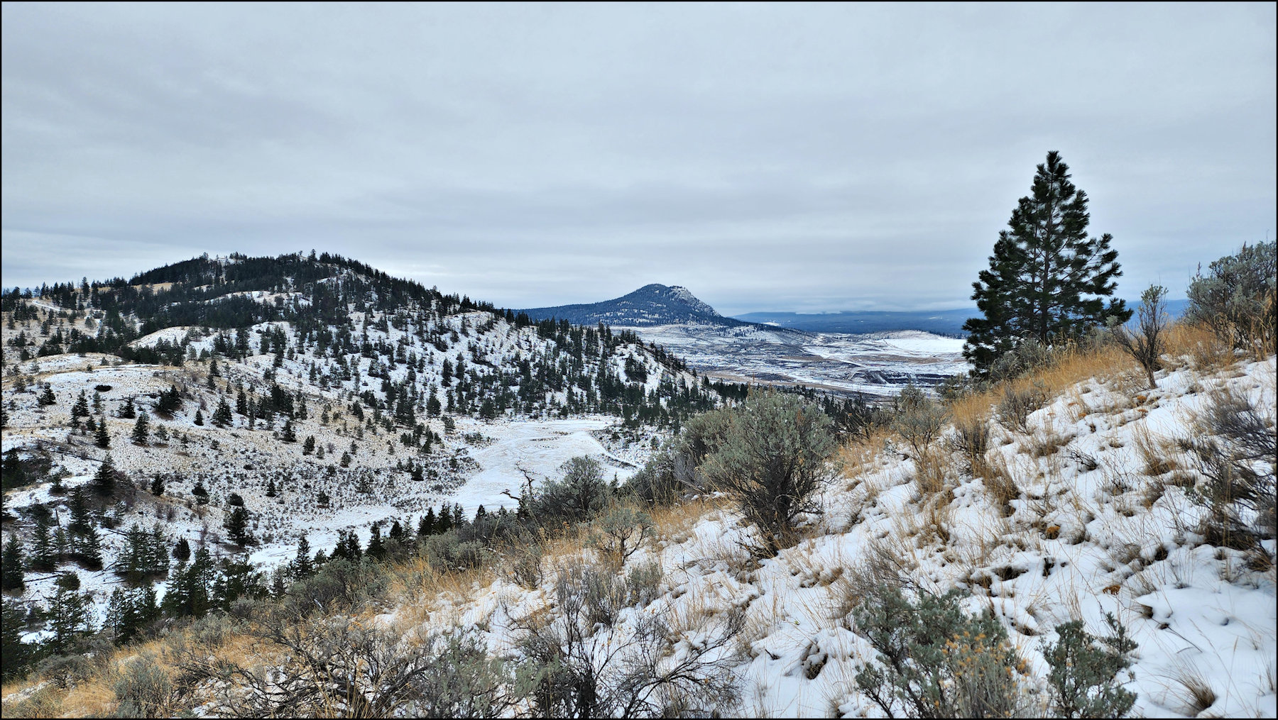
When snow covers the backroads and all grazing is over, we can explore the quiet hills above Kamloops Lake. The Dry Hills are open grasslands, rounded hills, and open forest in protected areas, with some seldom-used rough double tracks and lots of game trails. On a cold and grey late November day I hiked along a double track, then struck off, climbing the hills off-trail, traversing a series of hilltops.


From the hilltops we can look over more hills all the way down to the Thompson River and to Red Plateau beyond.


To the northwest we can see Kamloops Lake and rugged hills on both sides.


To the northeast was the river with Mara Mountain and the Batchelor Hills above.


Sugarloaf Hill rises to the southeast.


No directions are provided on purpose. This was an exploration route suitable for more advanced self-sufficient hikers and navigators, not a set of trails for weekend hikers. I will return to explore various other routes in the Dry Hills, mostly from November to March each year. There are many more areas to explore in the larger area, enough for any other intrepid explorers of out-of-the-way wild places.
Doug Smith
Doug writes for Kamloops Trails, a not-for-profit (and ad free) website, offering information on trails, waterways, routes, featured spots, viewpoints, and explorations in the outdoors in the Kamloops area (and beyond).
Doug started exploring this area in 1976 and continues to follow tracks and routes wherever they lead, with the aid of map, compass, GPSr and camera. After many dead-ends, but also many discoveries, he chose to share this information.
The Kamloops Trails website has a massive number of interesting posts and would be of interest to anyone in Kamloops who enjoys the outdoors. Visit the Kamloops Trails website at: http://www.kamloopstrails.ca/
My Blog Posts
