Dam Lake Loop – Kamloops Trails
When driving conditions are “iffy”, we know we can drive up the Coquihalla Highway to the first exit and pull off to hike in the Outer Inks Lakes trails/tracks. Most of the double tracks were set before the Coquihalla Highway was built. The maze of tracks was used by the Greater Kamloops Motorcycle Association who added a number of single tracks and signage. Since the area is mostly Crown lands with active grazing leases, the trails are unoffficial, but the OHV crowd continues to use the routes along with a few mountain bikers and hikers. Recently we saw signs warning that the area has active trapping lines so dog walkers and geocachers should take notice and extra care. On a late fall day with snow covering all of the tracks we returned to do the Dam Lake Loop, a 6 km pleasant forest hike.
 We have been hiking, running, mountain biking, and exploring in the area for decades so know all the routes, but most people will find it a confusing maze of tracks and trails. We recommend carrying a map app on a mobile, a GPS with a good digital map, or carrying a printed map of the area.
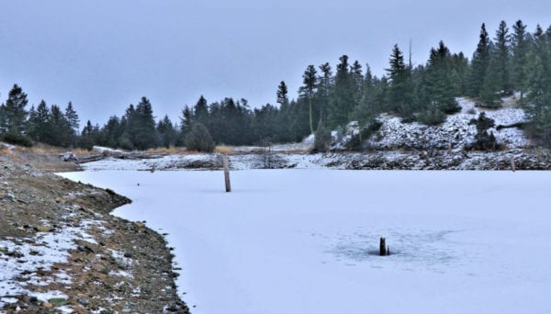
 There are a number of junctions to navigate to get to Dam Lake, but we arrived there for a quick lunch. the lake had been drawn down for irrigation and some submerged stumps and snags stood above water and we could walk onto a small rocky island.
 Some of the rock piles exposed at low water among the reeds were interesting.
 The above-water stumps had all the softer wood washed away and only the harder parts stand now, being bleached by the sun.
 The lake also has freshwater snails and I found a few shells on the shore. The living snails will be buried in the mud below the lake. After our break, we headed west, then started to loop back, bearing south to the main access road. This hike on the Outer Inks Trails was about 2 hours on grey cool day at the end of fall.
Doug Smith
Doug writes for Kamloops Trails, a not-for-profit (and ad free) website, offering information on trails, waterways, routes, featured spots, viewpoints, and explorations in the outdoors in the Kamloops area (and beyond).
Doug started exploring this area in 1976 and continues to follow tracks and routes wherever they lead, with the aid of map, compass, GPSr and camera. After many dead-ends, but also many discoveries, he chose to share this information.
The Kamloops Trails website has a massive number of interesting posts and would be of interest to anyone in Kamloops who enjoys the outdoors. Visit the Kamloops Trails website at: http://www.kamloopstrails.ca/
My Blog Posts