Tod Mountain Meadows Hike – KamloopsTrails
On a hot summer day we took the Sun Peaks Chairlift up to mid-station, then hiked over the hills toward the summit. We have hiked to the summit many times, but the weather was hot, so we chose a loop route that maximized wildflowers, views, and shade. Sun Peaks uses a number system for their trails, but the signage is minimal so hikers may need to carry a map, use a mapping app, or just return to try out the trails for future reference. We have hiked to the summit area every year for about 47 years, so we know the trails well. Nevertheless the trails change over time with each new installation for the ski hill. Our favorite route goes up the ridge at the top of the Headwalls, then over Top of the World. We aim for the summit, following a new trail then onto the best route – the Westridge Trail. We come to the vale below the summit and from there are multiple choices. On this day, we took the West Bowl Trail (now a multi-use route called the Altitude Trail), the Whyte Bowl Trail to the foot of The Chief, and then back on double tracks to the chairlift.

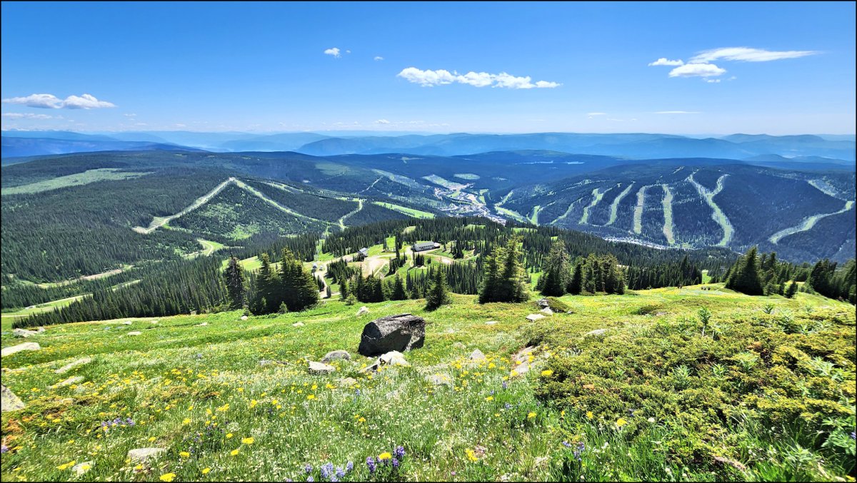
The wildflowers were in full bloom on all trails. The first wide views were from the top of the bluffs on the Headwalls. We could see Shuswap Lake to the east and the Monashee Ranges in the distance.

As we hiked along the Westridge Trail, we looked down into West Bowl on the west side and had the summit rise of Tod Mountain to the north.

At the end of the Westridge Trail, there are several junctions. Routes go to the top (Tod Peak), over to Tod Lake, or around the hill on Tod’s Backside. For this day we chose a loop route through the West Bowl.
 With new trails for mountain bikes and some construction, the trails can be a bit confusing, and the trail maps have not been updated. From memory I was able to take the right turns and wind us through Whyte Bowl and back to the start.

This was a 3 hour hike. There were wildflowers in the meadows for the whole time and conditions were perfect for summer hiking. A few images are shared here. Click an image for a lightbox view.
We will be back to hike the trails again this summer….
Doug Smith
Doug writes for Kamloops Trails, a not-for-profit (and ad free) website, offering information on trails, waterways, routes, featured spots, viewpoints, and explorations in the outdoors in the Kamloops area (and beyond).
Doug started exploring this area in 1976 and continues to follow tracks and routes wherever they lead, with the aid of map, compass, GPSr and camera. After many dead-ends, but also many discoveries, he chose to share this information.
The Kamloops Trails website has a massive number of interesting posts and would be of interest to anyone in Kamloops who enjoys the outdoors. Visit the Kamloops Trails website at: http://www.kamloopstrails.ca/
My Blog Posts