On the Sage Trails – Kamloops Trails
In late winter the Sage Trails area from Bunker Road was clear of snow and ice. On cooler days, the ground was frozen so there was no mud either. The trails can be combined for a loop route that takes 60 – 75 minutes and there are fine views at several points along the way.
Wisps of fog garlanded Mt. Peter across the valley.
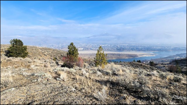
 Off the Panorama Trail, Rabbit Island and the Thompson River were below on the north side. Mt. Peter, Mt. Paul, and the Dome Hills stood above fog to the northeast.
 This is a scenic hike. Click an image for a lightbox view and a caption.
All photos by the author. A YouTube video is included here:
You can subscribe to the video channel Ramble On by clicking the link.
Related
Doug Smith
Doug writes for Kamloops Trails, a not-for-profit (and ad free) website, offering information on trails, waterways, routes, featured spots, viewpoints, and explorations in the outdoors in the Kamloops area (and beyond).
Doug started exploring this area in 1976 and continues to follow tracks and routes wherever they lead, with the aid of map, compass, GPSr and camera. After many dead-ends, but also many discoveries, he chose to share this information.
The Kamloops Trails website has a massive number of interesting posts and would be of interest to anyone in Kamloops who enjoys the outdoors. Visit the Kamloops Trails website at: http://www.kamloopstrails.ca/
My Blog Posts


