Birch Bluffs Rim Trail – Kamloops Trails
In June we traveled to Wells Gray Park to hike one of the lesser-known trails in the Hemp Creek Canyonlands. The trailhead for the Birch Bluffs Rim is the Moul Falls Trail parking area. We followed the main trail for 1.6 km, then turned onto a side trail which crosses Grouse Creek on a bridge.
 Grouse (Moul) Creek was rushing down across the plateau draining the high slopes near Trophy and Table Mountain.
 Some of the area is private land on the north side of the creek, but signage helps to direct us out to Birch Bluffs. The trail to McDiarmid Falls is a good one too, dropping down to lower Grouse Creek and the Clearwater River Trail. For this day we took the faint single track trail along the rim of Birch Bluffs.
 The trail follows the rim of 100 m high volcanic bluffs overlooking the Clearwater River Valley.
 At about 4 km the trail follows the bluffs as they curve up the Hemp Creek Canyon, bearing NNE.
 Lava bluffs flank both sides of the canyon as the trail winds along the rim. The Flatiron Trail is only 0.5 km away to the north, but below the cliffs and across Hemp Creek.
 From the top of the cliffs, we could see down to Hemp Creek, also full of water as it drained the slopes of Battle Mountain and McLeod Hill to the northeast.

At one point we could see across to the Flatiron
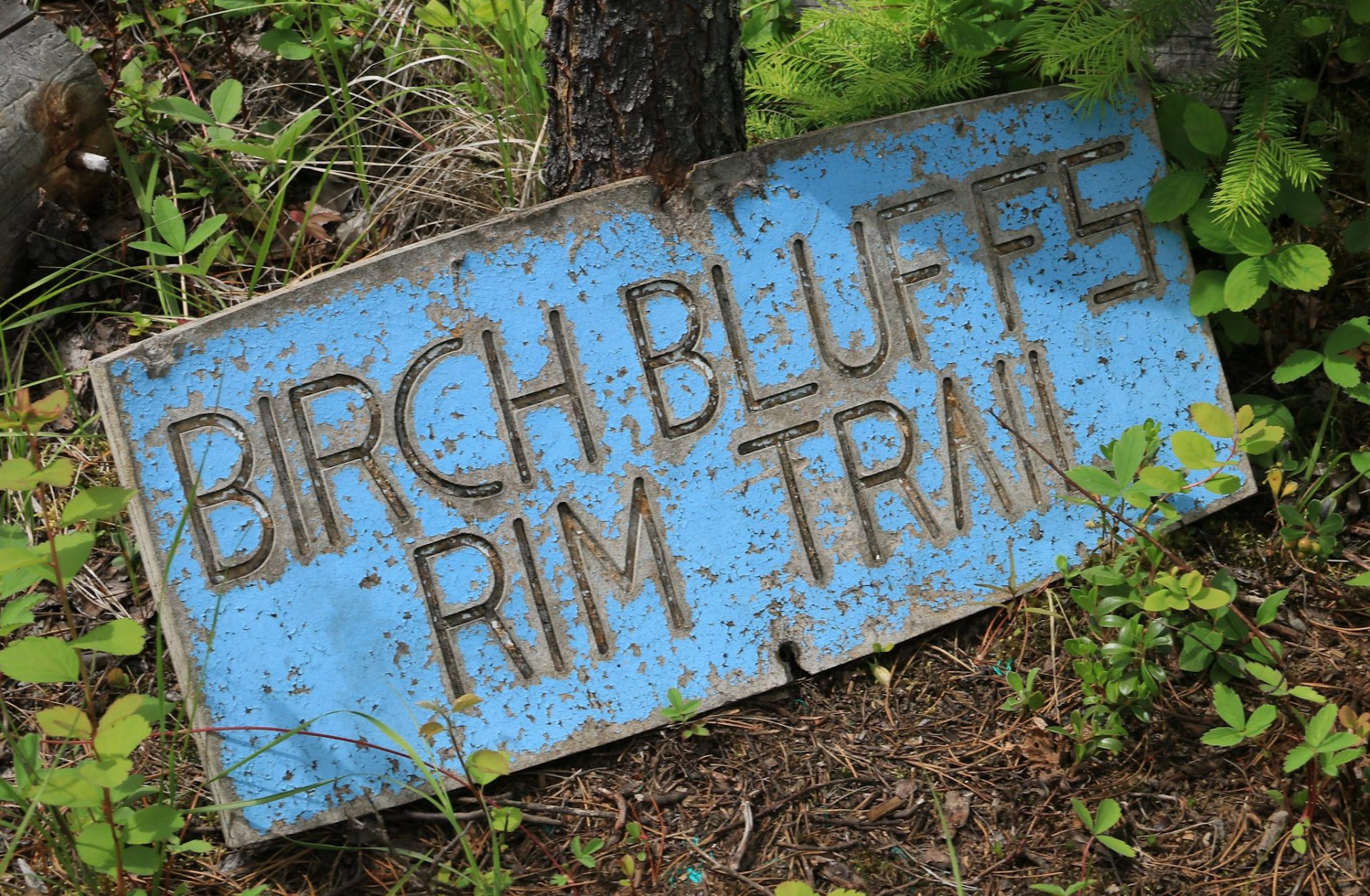
 At about the 5 km point trail conditions deteriorated with lots of deadfall, overgrown areas, and limited views. A good spot to turn-around is near this sign.
 We did push on, though, to get to Coal Creek Falls. We found it was quite hard to get a good view of the falls without some difficult scrambling. Even to get to this point was a bit precarious.
 We had lunch at the falls and returned the way we came. We chose to go down to see Moul Falls on the way back. The falls were very full and mists wafted across the area below.
 We took 2 side trips on this hike and together with the Birch Bluffs Trail, we covered about 15 km, a longer day of hiking. On the way back, I took a short walk into the Third Canyon Creek lookout to see the falls.
 For anyone wanting to do the Birch Bluffs Trail, we recommend going onto the rim for a shorter hike to a viewpoint then coming back and visiting McDiarmid and Moul Falls, all worth a day of exploration in Wells Gray Park.
Doug Smith
Doug writes for Kamloops Trails, a not-for-profit (and ad free) website, offering information on trails, waterways, routes, featured spots, viewpoints, and explorations in the outdoors in the Kamloops area (and beyond).
Doug started exploring this area in 1976 and continues to follow tracks and routes wherever they lead, with the aid of map, compass, GPSr and camera. After many dead-ends, but also many discoveries, he chose to share this information.
The Kamloops Trails website has a massive number of interesting posts and would be of interest to anyone in Kamloops who enjoys the outdoors. Visit the Kamloops Trails website at: http://www.kamloopstrails.ca/
My Blog Posts