Massive map sheds fresh light on Canada’s Indigenous history – TRU Newsroom
Widespread national and provincial borders, jagged terrain symbols, colourful waterways, oceans and seas — anyone who’s moved through the Canadian education system has studied a map of this country. Would perception of a place change if showed not only political and location details, but Indigenous language and culture?
Carolyn Anderson, faculty member in the School of Education, expects a recently obtained — and massive — educational resource to start meaningful conversations about Indigenous perspectives and worldviews on campus.
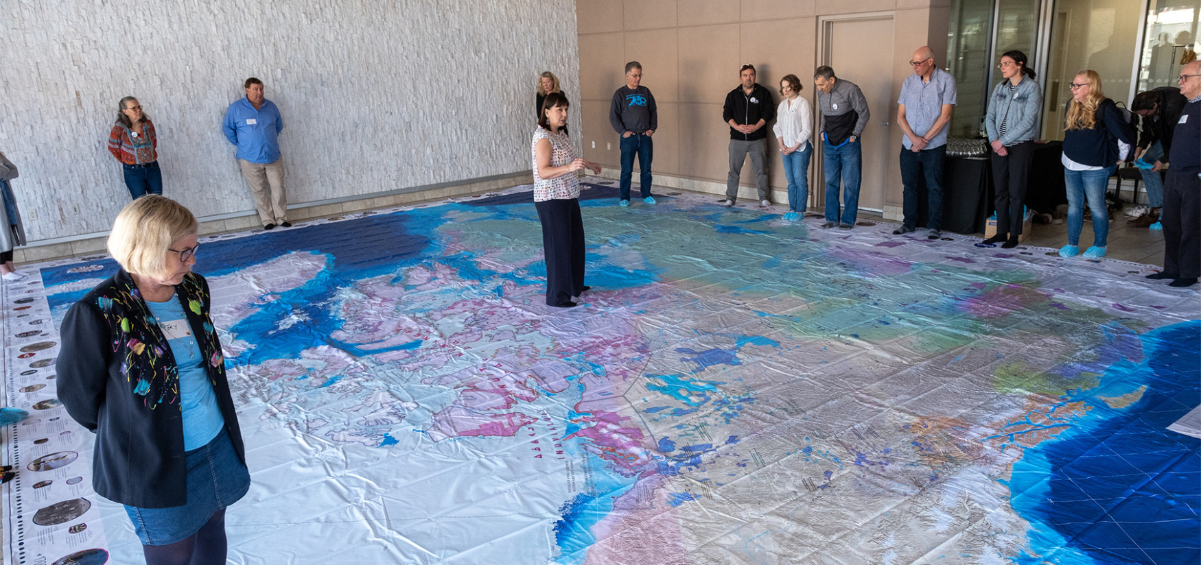
The Indigenous Peoples Atlas of Canada Giant Floor Map by Canadian Geographic is enormous. At 11 metres by 8 metres, it covers about half of a gymnasium floor. The sheer size means it’s totally immersive and it doesn’t take long to notice this is unlike any map shown in schools. This atlas highlights Indigenous language groups, numbered treaties, Indigenous communities, reserves and residential schools across Canada. It is part of a kit that contains an Indigenous events timeline and lesson plans about issues like climate change, that are presented through different Indigenous lenses. The resource is designed for teachers to use in K-12 classrooms, and Anderson is looking forward to introducing it to her classes of future teachers.
“One of the problems new teachers face is they haven’t had many experiences learning about Indigenous perspectives and worldviews. They didn’t have an opportunity to learn about this in their K-12 and post-secondary experiences, unless they purposefully took an Indigenous-focused course, which are usually only offered as electives,” she says.
She’s also confident this map will be a valuable resource for faculty members on campus.
“It’s relevant to all professors because it helps to build upon understanding of First Peoples in Canada. It’s important for educators to examine their own biases about the country we live in and engage in opportunities to expand their vistas on Indigenous educa tion and Canada through a different perspective,” Anderson says.
The resource is already spurring a lot of conversation and interest among students and faculty.
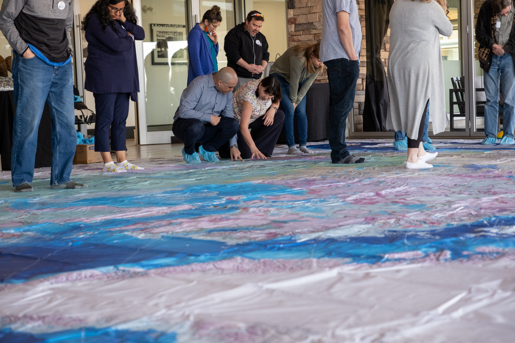
“It’s highly engaging for learners because they can stand on it, walk around. They can get down low and examine it. All 130 residential schools and all the reserves are there. When they are on their hands and knees exploring the map, it’s a different perspective of Canada they’ve never experienced. It opens their eyes that the country they’ve lived in can be seen from a totally different lens” she says.
Anderson recently showcased the atlas at a staff and faculty retreat for the Faculty of Education and Social Work, and it was impactful even to those who had seen it before, like faculty member Robert Wielgoz.
“My biggest takeaway from Carolyn’s session was a chance to reflect on change in society. It was powerful to look at the socio-political context at the year of my birth, my high school graduation, my kid’s birth, and reflect on my growth in understanding compared to my contextual perceptions at those times,” says Wielgoz.
This was faculty member Alex Church’s first time seeing the map, and she says it was a strong reminder that we all still have so much to learn about the history of Indigenous peoples.
“Something I didn’t know prior to seeing the map and talking with Carolyn is that the federal government created a different system of day schools and hostels in the north from the residential schools of the south. These hostels were built far away in very remote locations — often isolated on islands — which of course meant it was often impossible for the Inuit children to see their families or communities. Carolyn also shared that these hostels in the north, unlike residential schools elsewhere, often had Inuit women or couples helping to run them,” says Church.
Looking ahead, Anderson hopes colleagues and TRU community members take interest and use the map, and that it continues to spur conversation and understanding about Indigenous peoples, culture and ways of knowing.
